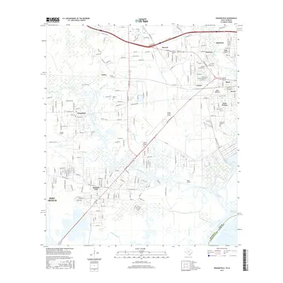
2016 Map of Orangefield
USGS Topo · Published 2016About this map
Cow Bayou and its numerous tributaries, including Sandy Creek and Marie Gully, dominate the low-lying landscape of this coastal Texas region. The area is defined by a network of waterways and wetlands that historically shaped the development of settlements like Bridge City and Orangefield. The presence of several established burial grounds, such as Dorman Cem, Winfree Cem, and Granger Cem, provides significant points of reference for genealogical research and local history within these communities.
Find a feature on this map
61 named features on this map. Tap any name to fly to it.
Don’t see what you’re looking for? This feature index may not catch every label — zoom into the map to look around manually.
Map Details
Editions of this 2016 Orangefield Map
This is the sole edition of this map. No revisions or reprints were ever made.
Other maps of this area

1926 · Terry
USGS Topo · 1:24,000

1926 · Texla
USGS Topo · 1:24,000

1926 · Mauriceville
USGS Topo · 1:24,000

1932 · Orange
USGS Topo · 1:62,500

1932 · Port Arthur NE
USGS Topo · 1:31,680

1934 · Greens Bayou
USGS Topo · 1:24,000

1935 · Greens Bayou
USGS Topo · 1:31,680

1943 · West of Greens Bayou
USGS Topo · 1:24,000

1943 · Orangefield
USGS Topo · 1:24,000

1943 · Mauriceville
USGS Topo · 1:24,000