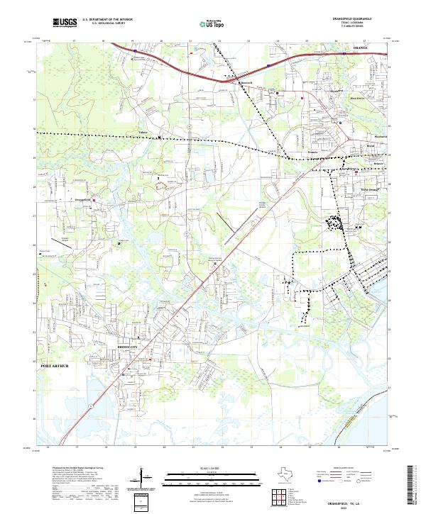
2022 Map of Orangefield
USGS Topo · Published 2022About this map
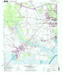
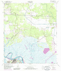
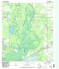
Cow Bayou and its numerous branches, including Coon Bayou and Marie Gully, dominate this coastal Texas landscape between Orange and Port Arthur. This recent survey illustrates a complex network of waterways and low-lying terrain, featuring several family-named burial grounds like Dorman Cem and Winfree Cem that speak to the deep-rooted settlement history of Orangefield and Tulane. The infrastructure reflects a mix of aviation and petroleum-linked development, evidenced by Chesson Airport and the Orange County Airport. Near the confluence with the Sabine River, Bridge City serves as a hub for local transit, while the Intracoastal Waterway and Shell Canal mark the industrial importance of the shipping channels. Notable landmarks like Dunes Bluff and Mule Island punctuate the marshy landscape, showing the persistent character of this Gulf Coast drainage system.
Find a feature on this map
221 named features on this map. Tap any name to fly to it.
Don’t see what you’re looking for? This feature index may not catch every label — zoom into the map to look around manually.
Map Details
Editions of this 2022 Orangefield Map
This is the sole edition of this map. No revisions or reprints were ever made.
Historical Maps of Tulane Through Time
20 maps found

1926 Lakeview
Orange County, TX

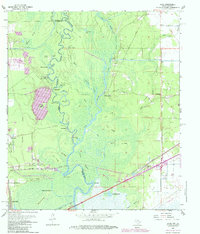
1926 Terry
Orange County, TX

1926 Texla
Orange County, TX
1943 Orangefield
Orange County, TX
1943 Terry
Orange County, TX

1943 Texla
Orange County, TX

1943 West of Greens Bayou
Orange County, TX
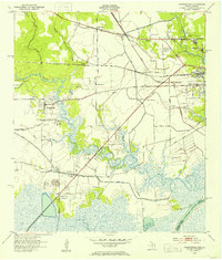
1957 Orangefield
Orange County, TX
1957 Orangefield
Orange County, TX
1957 Terry
Orange County, TX
1957 Texla
Orange County, TX
1957 West of Greens Bayou
Orange County, TX
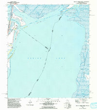
1960 Echo
Orange County, TX
1993 West of Greens Bayou
Orange County, TX
1994 Echo
Orange County, TX
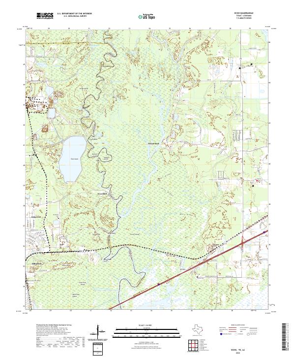
2022 Echo
Orange County, TX
2022 Orangefield
Orange County, TX
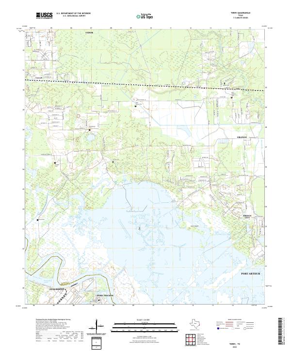
2022 Terry
Orange County, TX
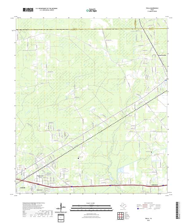
2022 Texla
Orange County, TX
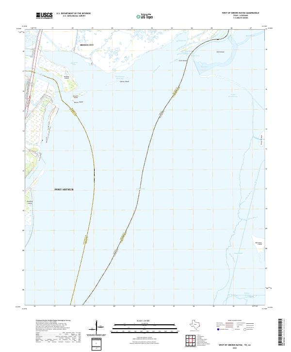
2022 West of Greens Bayou
Orange County, TX