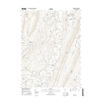
2016 Map of Orbisonia
USGS Topo · Published 2016About this map
Aughwick Creek winds through this section of Huntingdon County, carving a path between the steep slopes of Jacks Mountain and Blacklog Mountain. The landscape is defined by its deep ridge-and-valley structure, where settlements like Three Springs and Saltillo occupy the narrow corridors of flat land. The map reveals a high concentration of small, family-owned burial grounds such as the Booth Family Cem and Kyler Family Cem, alongside established community landmarks like the Saint Mary's Covered Bridge. These features, tucked into the gaps of Shopes Ridge and Johnson Ridge, indicate a long-standing rural community structure where geography dictated the placement of roads like the Croghan Pike and Hudson St. In the southern reaches, the village of Maddensville sits at the confluence of Sideling Hill Creek and Little Aughwick Creek, serving as a focal point for local transport and commerce.
Find a feature on this map
115 named features on this map. Tap any name to fly to it.
Don’t see what you’re looking for? This feature index may not catch every label — zoom into the map to look around manually.
Map Details
Editions of this 2016 Orbisonia Map
This is the sole edition of this map. No revisions or reprints were ever made.
Other maps of this area

1901 · Huntingdon
USGS Topo · 1:62,500

1904 · Huntingdon
USGS Topo · 1:62,500

1922 · Mt Union
USGS Topo · 1:48,000

1924 · Mt. Union
USGS Topo · 1:62,500

1930 · Broad Top
USGS Topo · 1:62,500

1933 · Broad Top
USGS Topo · 1:62,500

1939 · Orbisonia
USGS Topo · 1:62,500

1940 · Orbisonia
USGS Topo · 1:62,500

1944 · Orbisonia
USGS Topo · 1:62,500

1944 · Mt. Union
USGS Topo · 1:62,500