2023 Map of Orbisonia
USGS Topo · Published 2023About this map
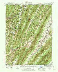
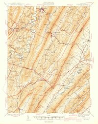
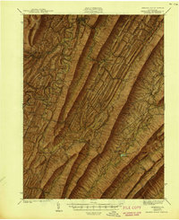
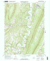
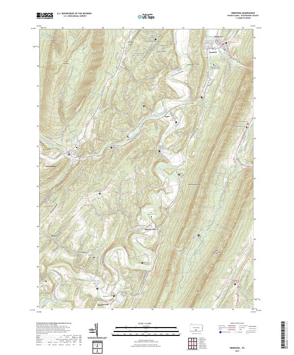
Orbisonia and Rockhill anchor the northern reaches of this Huntingdon County corridor, where the Blacklog Creek cuts through the narrow valley between Jacks Mountain and Blacklog Mountain. The landscape is defined by long, parallel ridges and the winding path of Aughwick Creek, which drains the various runs and branches flowing from the steep slopes. Settlement patterns remain clustered around historic crossroads like Three Springs, Meadow Gap, and Maddensville, many of which are marked by numerous family burial grounds and small country churches. Genealogists will find a dense concentration of local history in sites such as the Rockhill Independent Order of Odd Fellows Cem and the McKendree Methodist Church Cem. Aviation history is represented by small local strips including Beers Farm Airport and Memmi Airport, while the legacy of early rural education persists at the Jefferson School site near Pogue.
Find a feature on this map
127 named features on this map. Tap any name to fly to it.
Don’t see what you’re looking for? This feature index may not catch every label — zoom into the map to look around manually.
Map Details
Editions of this 2023 Orbisonia Map
This is the sole edition of this map. No revisions or reprints were ever made.
Historical Maps of Maddensville Through Time
5 maps found