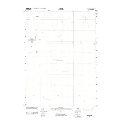
2011 Map of Orchard
USGS Topo · Published 2011About this map
Orchard serves as the primary hub of this Antelope County landscape, where the intersection of local routes like Harrison St and Clara St defines the village center. The presence of the Orchard Post Office and nearby Orchard Cemetery provides a focal point for researchers tracing the community's early 21st-century footprint. Further south, Saint Peters Cemetery sits along the road network, marking the spiritual and genealogical history of the surrounding farmland.
Find a feature on this map
21 named features on this map. Tap any name to fly to it.
Don’t see what you’re looking for? This feature index may not catch every label — zoom into the map to look around manually.
Map Details
Editions of this 2011 Orchard Map
This is the sole edition of this map. No revisions or reprints were ever made.
Other maps of this area

1955 · O'Neill
USGS Topo · 1:250,000

1959 · O'Neill
USGS Topo · 1:250,000

1963 · Orchard NE
USGS Topo · 1:24,000

1963 · Neligh
USGS Topo · 1:24,000

1963 · Venus
USGS Topo · 1:24,000

1963 · Royal
USGS Topo · 1:24,000

1963 · Orchard
USGS Topo · 1:24,000

1963 · Ewing
USGS Topo · 1:24,000

1963 · Deloit NE
USGS Topo · 1:24,000
1963 · Clearwater
USGS Topo · 1:24,000