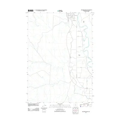
2012 Map of Orchard Bench
USGS Topo · Published 2012About this map
The Bighorn River corridor defines this portion of Wyoming, where the high plains of the Orchard Bench meet an extensive network of human-engineered irrigation. Central to this agricultural landscape is the Big Horn Canal, which follows the river’s course and supports a grid of rural lanes and maintenance paths like the Big Horn Canal Maintenance Trl. The map details how water management transformed the arid basin, with seasonal drainages such as Antelope Cr, Elk Cr, and Dobie Cr cutting through the terrain toward the main river valley. Residential and agricultural development is concentrated along the northern edge, where streets such as Big Horn Ave E and Orchard Ave provide a transition from the structured town grid to the open grazing and farming lands of the East Basin Draw.
Find a feature on this map
26 named features on this map. Tap any name to fly to it.
Don’t see what you’re looking for? This feature index may not catch every label — zoom into the map to look around manually.
Map Details
Editions of this 2012 Orchard Bench Map
This is the sole edition of this map. No revisions or reprints were ever made.
Other maps of this area

1951 · Schuster Flats NE
USGS Topo · 1:24,000

1951 · Schuster Flats NW
USGS Topo · 1:24,000

1955 · Cody
USGS Topo · 1:250,000

1955 · Sheridan
USGS Topo · 1:250,000

1958 · Cody
USGS Topo · 1:250,000

1958 · Sheridan
USGS Topo · 1:250,000

1960 · Manderson
USGS Topo · 1:24,000

1960 · Wild Horse Flats
USGS Topo · 1:24,000

1962 · Sheridan
USGS Topo · 1:250,000

1962 · Cody
USGS Topo · 1:250,000