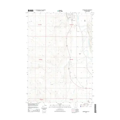
2015 Map of Orchard Bench
USGS Topo · Published 2015About this map
Basin occupies the northern edge of this landscape, situated along the western banks of the Bighorn River. The terrain here is defined by a sophisticated system of water management, most notably the Big Horn Canal, which skirts the edge of the prominent Orchard Bench landform. This high plateau area is transected by a grid of rural routes including Orchard Bench Rd and Lane 46, reflecting the organized agricultural development of Big Horn County.
Find a feature on this map
33 named features on this map. Tap any name to fly to it.
Don’t see what you’re looking for? This feature index may not catch every label — zoom into the map to look around manually.
Map Details
Editions of this 2015 Orchard Bench Map
This is the sole edition of this map. No revisions or reprints were ever made.
Other maps of this area

1951 · Schuster Flats NE
USGS Topo · 1:24,000

1951 · Schuster Flats NW
USGS Topo · 1:24,000

1955 · Cody
USGS Topo · 1:250,000

1955 · Sheridan
USGS Topo · 1:250,000

1958 · Cody
USGS Topo · 1:250,000

1958 · Sheridan
USGS Topo · 1:250,000

1960 · Manderson
USGS Topo · 1:24,000

1960 · Wild Horse Flats
USGS Topo · 1:24,000

1962 · Sheridan
USGS Topo · 1:250,000

1962 · Cody
USGS Topo · 1:250,000