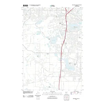
2010 Map of Orchard Lake
USGS Topo · Published 2010About this map
Orchard Lake and its surrounding suburbs in Dakota County reflect the late 20th-century expansion of the Minneapolis-Saint Paul metropolitan area. This 2010 topographic survey documents a landscape defined by residential developments and leisure facilities, including the Orchard Gardens Golf Course and Legends Golf Course. Notable for aviation enthusiasts are the specialized facilities on the water, specifically the Crystal Lake Seaplane Base and the Lake Marion Seaplane Base, which distinguish this lake-rich region from other suburban corridors.
Find a feature on this map
67 named features on this map. Tap any name to fly to it.
Don’t see what you’re looking for? This feature index may not catch every label — zoom into the map to look around manually.
Map Details
Editions of this 2010 Orchard Lake Map
This is the sole edition of this map. No revisions or reprints were ever made.
Other maps of this area

1896 · Minneapolis
USGS Topo · 1:62,500

1896 · St. Paul
USGS Topo · 1:62,500

1901 · Minneapolis
USGS Topo · 1:62,500

1951 · St. Paul SW
USGS Topo · 1:24,000

1951 · St. Paul
USGS Topo · 1:62,500

1953 · Saint Paul
USGS Topo · 1:250,000

1954 · Bloomington
USGS Topo · 1:24,000

1954 · Eden Prairie
USGS Topo · 1:24,000

1954 · Minneapolis
USGS Topo · 1:62,500

1957 · Farmington
USGS Topo · 1:62,500