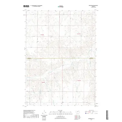
2017 Map of Orchard NW
USGS Topo · Published 2017About this map
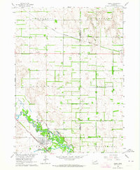
Verdigre Creek and its complex network of tributaries define this agricultural landscape along the northern border of the Nebraska Sandhills. The area is characterized by the confluence of numerous waterways, including Big Springs Cr, S Br Verdigre Cr, and the slow-moving Hathaway Slough. This modern survey illustrates the persistent rural character of the region, where a grid of section-line roads such as 870 RD and Co Oil RD navigate the varied elevation. Genealogists can locate two distinct burial sites that anchor the local community history: Enterprise Cem in the north and Pleasant View Cem to the south. The map also records the Howard Reservoir, reflecting the water management essential to the high plains farming and ranching economy that has shaped these counties for generations.
Find a feature on this map
24 named features on this map. Tap any name to fly to it.
Don’t see what you’re looking for? This feature index may not catch every label — zoom into the map to look around manually.
Map Details
Editions of this 2017 Orchard NW Map
This is the sole edition of this map. No revisions or reprints were ever made.
Other maps of this area
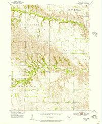
1954 · Walnut
USGS Topo · 1:24,000
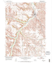
1954 · Verdigre
USGS Topo · 1:24,000
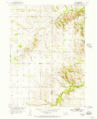
1954 · Star
USGS Topo · 1:24,000

1955 · O'Neill
USGS Topo · 1:250,000

1959 · O'Neill
USGS Topo · 1:250,000
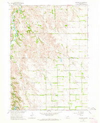
1963 · Orchard NE
USGS Topo · 1:24,000
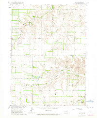
1963 · Venus
USGS Topo · 1:24,000
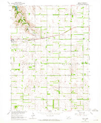
1963 · Royal
USGS Topo · 1:24,000
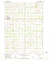
1963 · Orchard
USGS Topo · 1:24,000
1963 · Ewing
USGS Topo · 1:24,000