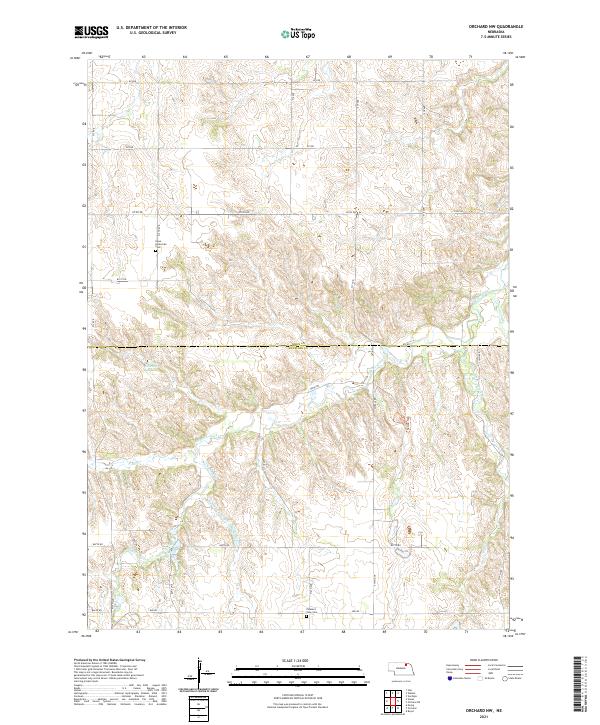
2021 Map of Orchard NW
USGS Topo · Published 2021About this map
Hope-Enterprise Cem and Pleasant View Cem stand as quiet landmarks within this rural landscape where the border of Knox County and Antelope County meets. The terrain is defined by a dense network of drainage, where the S Br Verdigre Cr and E Br Verdigre Cr converge toward the main channel of Verdigre Creek. This map captures a strictly agricultural and conservation-oriented era, highlighted by features like the Howard Reservoir and the Nature Trl near Ashfall Rd. The survey reveals how local water sources like Big Springs Cr and the Hathaway Slough dictate the placement of section roads, such as Co Oil Rd and 870 Rd, which navigate the undulating topography of north-central Nebraska.
Find a feature on this map
34 named features on this map. Tap any name to fly to it.
Don’t see what you’re looking for? This feature index may not catch every label — zoom into the map to look around manually.
Map Details
Editions of this 2021 Orchard NW Map
This is the sole edition of this map. No revisions or reprints were ever made.
Other maps of this area

1954 · Walnut
USGS Topo · 1:24,000

1954 · Verdigre
USGS Topo · 1:24,000

1954 · Star
USGS Topo · 1:24,000

1955 · O'Neill
USGS Topo · 1:250,000

1959 · O'Neill
USGS Topo · 1:250,000

1963 · Orchard NE
USGS Topo · 1:24,000

1963 · Venus
USGS Topo · 1:24,000

1963 · Royal
USGS Topo · 1:24,000

1963 · Orchard
USGS Topo · 1:24,000

1963 · Ewing
USGS Topo · 1:24,000