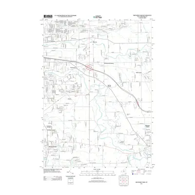
2013 Map of Orchard Park
USGS Topo · Published 2013About this map
Orchard Park and its surrounding communities in Erie County are defined by the winding paths of Cazenovia Cr and Buffalo Cr. This early 21st-century landscape shows a blend of established residential neighborhoods and agricultural heritage, with specialized operations like Boldts Evergreen Farm and Angle Acres Greenhouses interspersed among suburban growth. The area's religious and educational foundations are visible through Christ The King Seminary and several long-standing burial grounds, including Saint Johns Cem and the Angle Road Cem.
Find a feature on this map
120 named features on this map. Tap any name to fly to it.
Don’t see what you’re looking for? This feature index may not catch every label — zoom into the map to look around manually.
Map Details
Editions of this 2013 Orchard Park Map
This is the sole edition of this map. No revisions or reprints were ever made.
Other maps of this area

1894 · Buffalo
USGS Topo · 1:62,500

1901 · Buffalo
USGS Topo · 1:62,500

1905 · Depew
USGS Topo · 1:62,500

1905 · Eden
USGS Topo · 1:62,500

1907 · Eden
USGS Topo · 1:62,500

1925 · Springville
USGS Topo · 1:62,500

1944 · Eden
USGS Topo · 1:62,500

1944 · Hamburg
USGS Topo · 1:31,680

1948 · Hamburg
USGS Topo · 1:24,000

1948 · Depew
USGS Topo · 1:62,500