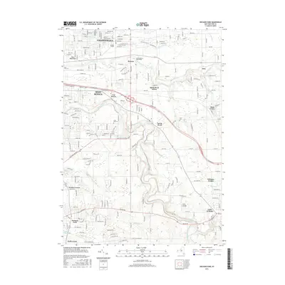
2016 Map of Orchard Park
USGS Topo · Published 2016About this map
Buffalo Creek and Cazenovia Creek wind through this landscape southeast of Buffalo, defining the residential and suburban development of Erie County in the mid-2010s. The map captures a transition from the established streets of West Seneca and Cheektowaga to the more open terrain of Elma and Billington Heights. Local transportation and aviation history are evident at Buffalo Airfield, while the surrounding landscape is dotted with long-standing community institutions such as Christ the King Seminary and several historic burial grounds including Saint Johns Cem and Angle Road Cem.
Find a feature on this map
29 named features on this map. Tap any name to fly to it.
Don’t see what you’re looking for? This feature index may not catch every label — zoom into the map to look around manually.
Map Details
Editions of this 2016 Orchard Park Map
This is the sole edition of this map. No revisions or reprints were ever made.
Other maps of this area

1894 · Buffalo
USGS Topo · 1:62,500

1901 · Buffalo
USGS Topo · 1:62,500

1905 · Depew
USGS Topo · 1:62,500

1905 · Eden
USGS Topo · 1:62,500

1907 · Eden
USGS Topo · 1:62,500

1925 · Springville
USGS Topo · 1:62,500

1944 · Eden
USGS Topo · 1:62,500

1944 · Hamburg
USGS Topo · 1:31,680

1948 · Hamburg
USGS Topo · 1:24,000

1948 · Depew
USGS Topo · 1:62,500