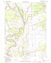
1949 Map of Ord Ferry
USGS Topo · Published 1976About this map
The Sacramento River carves a complex, winding path through this portion of the Sacramento Valley, defining the boundaries between Butte and Glenn Counties. The landscape is a network of active and relic waterways, where the main channel is flanked by numerous sloughs such as Kusal Slough, Murphy Slough, and the uniquely named Negro Sam Slough. Large river features like Phelan Island and Golden State Island demonstrate the dynamic nature of the river corridor before modern intensive channelization. Evidence of early California settlement and transport is prominent, particularly the former locations of Ord Ferry and Chico Landing.
Find a feature on this map
62 named features on this map. Tap any name to fly to it.
Don’t see what you’re looking for? This feature index may not catch every label — zoom into the map to look around manually.
Map Details
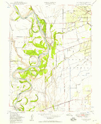
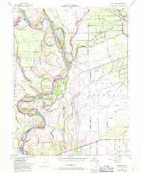
Editions of this 1949 Ord Ferry Map
3 editions found
Other maps of this area

1891 · Chico
USGS Topo · 1:125,000

1893 · Chico
USGS Topo · 1:125,000

1895 · Chico
USGS Topo · 1:125,000

1904 · Vina
USGS Topo · 1:62,500

1906 · Willows
USGS Topo · 1:62,500

1912 · Durham
USGS Topo · 1:31,680

1912 · Nord
USGS Topo · 1:31,680

1912 · Chico Landing
USGS Topo · 1:31,680

1912 · Nelson
USGS Topo · 1:31,680

1912 · Keefers
USGS Topo · 1:31,680