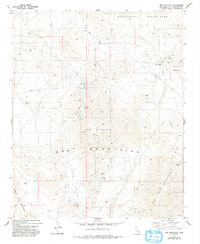
1982 Map of Ord Mountain
USGS Topo · Published 1993About this map
Ord Mountain and the surrounding high desert peaks of the Newberry Mountains and Rodman Mountains define this section of the Mojave during the early 1980s. The landscape is marked by remote industrial and survival infrastructure, including a Radio Facility atop the central peak and numerous Drill Holes scattered across the northern slopes. Water sources in this arid environment are limited to sparse locations such as Aztec Spring, Sweetwater Spring, and Willow Spring, which served as critical landmarks for travelers and prospectors alike.
Find a feature on this map
19 named features on this map. Tap any name to fly to it.
Don’t see what you’re looking for? This feature index may not catch every label — zoom into the map to look around manually.
Map Details
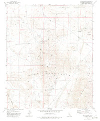
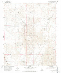
Editions of this 1982 Ord Mountain Map
3 editions found
Other maps of this area

1953 · San Bernardino
USGS Topo · 1:250,000

1955 · Newberry
USGS Topo · 1:62,500

1955 · Ord Mountains
USGS Topo · 1:62,500

1955 · Rodman Mountains
USGS Topo · 1:62,500

1956 · San Bernardino
USGS Topo · 1:250,000

1956 · Daggett
USGS Topo · 1:62,500

1957 · San Bernardino
USGS Topo · 1:250,000

1958 · San Bernardino
USGS Topo · 1:250,000

1959 · San Bernardino
USGS Topo · 1:250,000

1966 · San Bernardino
USGS Topo · 1:250,000