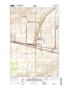
2014 Map of Ordnance
USGS Topo · Published 2014About this map
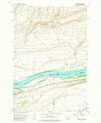
Ordnance sits at the heart of this landscape, marking a significant site of utility and transport in the high desert of Eastern Oregon. The settlement is defined by a grid of streets including A St, Cedar St, and D St, situated just north of the busy corridor where Stafford Hansell Rd and regional highways converge. The surrounding terrain is deeply influenced by early 21st-century water management, characterized by a complex network of artificial waterways like the W Extension Irrigation Canal and the Westland A Canal.
Find a feature on this map
27 named features on this map. Tap any name to fly to it.
Don’t see what you’re looking for? This feature index may not catch every label — zoom into the map to look around manually.
Map Details
Editions of this 2014 Ordnance Map
This is the sole edition of this map. No revisions or reprints were ever made.
Other maps of this area
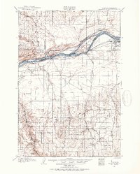
1906 · Blalock Island
USGS Topo · 1:125,000
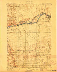
1908 · Blalock Island
USGS Topo · 1:125,000
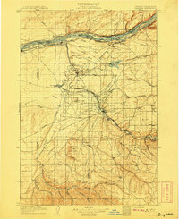
1908 · Umatilla
USGS Topo · 1:125,000

1953 · Pendleton
USGS Topo · 1:250,000

1956 · Pendleton
USGS Topo · 1:250,000
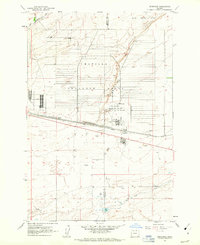
1962 · Ordnance
USGS Topo · 1:24,000
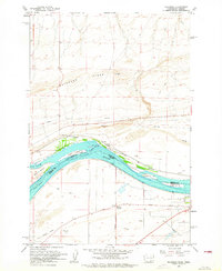
1962 · Paterson
USGS Topo · 1:24,000
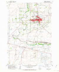
1962 · Hermiston
USGS Topo · 1:24,000
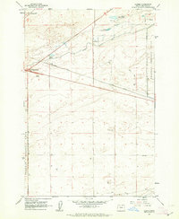
1962 · Clarke
USGS Topo · 1:24,000
1962 · Irrigon
USGS Topo · 1:24,000