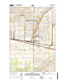
2017 Map of Ordnance
USGS Topo · Published 2017About this map
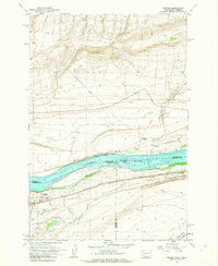
Ordnance sits at the center of this high-desert landscape in Umatilla County, where the transition from arid coulees to irrigated agricultural land is clearly visible. The terrain is defined by geological features like Coyote Coulee and Fourmile Canyon, while the human footprint is marked by an extensive network of water management systems. A series of significant waterways, including the W Extension Irrigation Canal, Westland A Canal, and High Line Canal, demonstrate the region's reliance on engineered irrigation to support its development.
Find a feature on this map
28 named features on this map. Tap any name to fly to it.
Don’t see what you’re looking for? This feature index may not catch every label — zoom into the map to look around manually.
Map Details
Editions of this 2017 Ordnance Map
This is the sole edition of this map. No revisions or reprints were ever made.
Other maps of this area
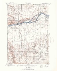
1906 · Blalock Island
USGS Topo · 1:125,000
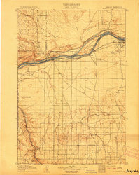
1908 · Blalock Island
USGS Topo · 1:125,000
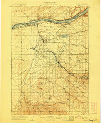
1908 · Umatilla
USGS Topo · 1:125,000

1953 · Pendleton
USGS Topo · 1:250,000

1956 · Pendleton
USGS Topo · 1:250,000
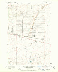
1962 · Ordnance
USGS Topo · 1:24,000
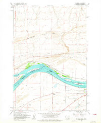
1962 · Paterson
USGS Topo · 1:24,000
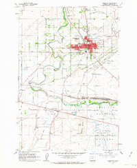
1962 · Hermiston
USGS Topo · 1:24,000
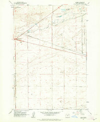
1962 · Clarke
USGS Topo · 1:24,000
1962 · Irrigon
USGS Topo · 1:24,000