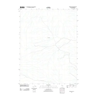
2011 Map of Oreana NW
USGS Topo · Published 2011About this map
The Trinity Range dominates this landscape in Pershing County, Nevada, where the desert terrain is defined by a complex network of ephemeral drainage patterns. This 2011 survey by the U.S. Geological Survey captures the arid character of the Great Basin, focusing on a region primarily traversed by unpaved tracks. Access through this expansive section of the range is highlighted by Poker Brown Camp Rd, which cuts across the southern portion of the quadrangle. The map is a testament to the sparse human imprint on this part of the Nevada interior, where topographic detail reveals the intricate erosion and alluvial fans descending from the mountain peaks.
Find a feature on this map
2 named features on this map. Tap any name to fly to it.
Don’t see what you’re looking for? This feature index may not catch every label — zoom into the map to look around manually.
Map Details
Editions of this 2011 Oreana NW Map
This is the sole edition of this map. No revisions or reprints were ever made.
Other maps of this area

1931 · Lovelock
USGS Topo · 1:250,000

1935 · Lovelock
USGS Topo · 1:250,000

1955 · Lovelock
USGS Topo · 1:250,000
1956 · Oreana
USGS Topo · 1:62,500

1959 · Lovelock
USGS Topo · 1:250,000
1971 · Rye Patch Reservoir South
USGS Topo · 1:24,000
1971 · Poker Brown
USGS Topo · 1:24,000
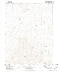
1981 · Natchez Spring
USGS Topo · 1:24,000
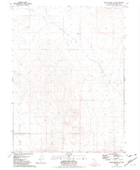
1981 · Poker Brown Gap
USGS Topo · 1:24,000
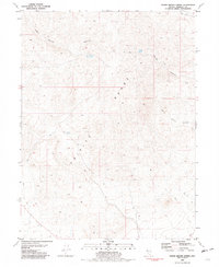
1981 · Poker Brown Spring
USGS Topo · 1:24,000