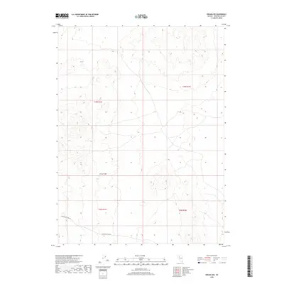
2018 Map of Oreana NW
USGS Topo · Published 2018About this map
The high desert landscape of Trinity Range dominates this portion of Pershing County. This environment is defined by its dramatic topographic relief and the isolation of the Great Basin, where land use is dictated by the arid climate and mountainous terrain. The only significant named thoroughfare in this remote sector is Poker Brown Camp Rd, which skirts the southern reaches of the mountains. The map provides a precise layout of the Public Land Survey System boundaries, specifically demarcating t30n r31e, t30n r32e, t29n r31e, and t29n r32e. This area reflects the typical structural organization of Nevada's interior, where large swaths of terrain remain undeveloped, categorized by government-monitored land boundaries and occasional access tracks for range management or mining prospects.
Find a feature on this map
6 named features on this map. Tap any name to fly to it.
Don’t see what you’re looking for? This feature index may not catch every label — zoom into the map to look around manually.
Map Details
Editions of this 2018 Oreana NW Map
This is the sole edition of this map. No revisions or reprints were ever made.
Other maps of this area

1931 · Lovelock
USGS Topo · 1:250,000

1935 · Lovelock
USGS Topo · 1:250,000

1955 · Lovelock
USGS Topo · 1:250,000
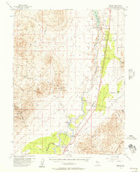
1956 · Oreana
USGS Topo · 1:62,500

1959 · Lovelock
USGS Topo · 1:250,000
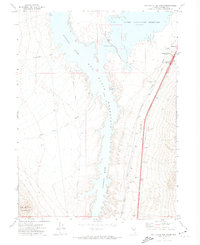
1971 · Rye Patch Reservoir South
USGS Topo · 1:24,000
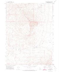
1971 · Poker Brown
USGS Topo · 1:24,000
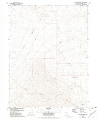
1981 · Natchez Spring
USGS Topo · 1:24,000
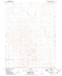
1981 · Poker Brown Gap
USGS Topo · 1:24,000
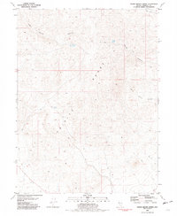
1981 · Poker Brown Spring
USGS Topo · 1:24,000