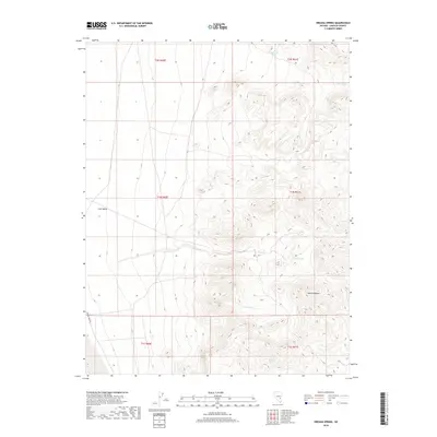
2018 Map of Oreana Spring
USGS Topo · Published 2018About this map
Coal Valley and the western slopes of the Seaman Range define this arid landscape in Lincoln County, where water is the primary point of interest. The area is marked by a series of isolated water sources including Oreana Spring, Simmond Spring, and Keno Spring, which provided essential stops in the desert terrain. These natural features, along with Willow Spring and Chicken Spring, indicate the vital role of specific topography in supporting life and travel through the basin and range province. The presence of Seaman Wash Rd provides the modern access route through the western edge of the valley, while the intricate contour lines illustrate the elevation gain from the valley floor into the surrounding heights.
Find a feature on this map
14 named features on this map. Tap any name to fly to it.
Don’t see what you’re looking for? This feature index may not catch every label — zoom into the map to look around manually.
Map Details
Editions of this 2018 Oreana Spring Map
This is the sole edition of this map. No revisions or reprints were ever made.
Other maps of this area

1954 · Caliente
USGS Topo · 1:250,000

1956 · Lund
USGS Topo · 1:250,000
1959 · Caliente
USGS Topo · 1:250,000

1960 · Lund
USGS Topo · 1:250,000
1970 · Oreana Spring
USGS Topo · 1:24,000
1970 · Seaman Wash
USGS Topo · 1:24,000
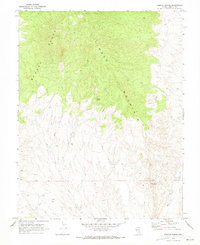
1970 · Weepah Spring
USGS Topo · 1:24,000
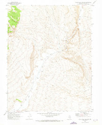
1970 · White River Narrows
USGS Topo · 1:24,000
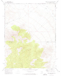
1971 · Timber Mtn Pass East
USGS Topo · 1:24,000
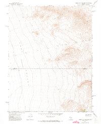
1971 · Timber Mtn Pass West
USGS Topo · 1:24,000