
1970 Map of Oreana Spring
USGS Topo · Published 1973About this map
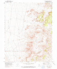
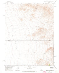
Coal Valley dominates the western portion of this 1970s landscape, characterized by a significant (Depression) that defines the local basin. To the east, the topography rises sharply into the Seaman Range, where the terrain is marked by intricate contouring and isolated water sources. This transition from the valley floor to the high ridges illustrates the arid basin-and-range environment where every water source was critical for survival and land use.
Find a feature on this map
9 named features on this map. Tap any name to fly to it.
Don’t see what you’re looking for? This feature index may not catch every label — zoom into the map to look around manually.
Map Details
Editions of this 1970 Oreana Spring Map
2 editions found
Other maps of this area

1954 · Caliente
USGS Topo · 1:250,000

1956 · Lund
USGS Topo · 1:250,000

1959 · Caliente
USGS Topo · 1:250,000

1960 · Lund
USGS Topo · 1:250,000

1970 · Seaman Wash
USGS Topo · 1:24,000
1970 · Weepah Spring
USGS Topo · 1:24,000
1970 · White River Narrows
USGS Topo · 1:24,000
1971 · Timber Mtn Pass East
USGS Topo · 1:24,000
1971 · Timber Mtn Pass West
USGS Topo · 1:24,000

1985 · Water Gap East
USGS Topo · 1:24,000