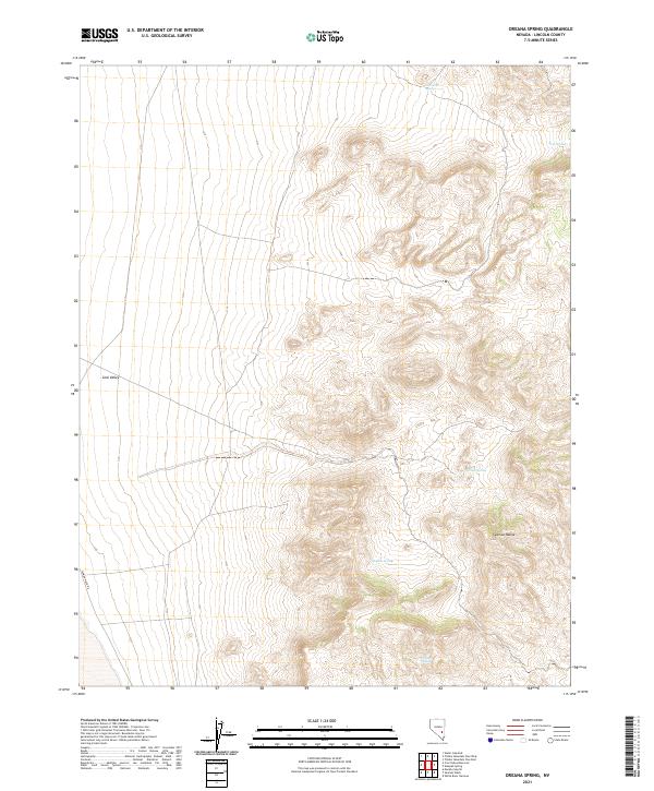
2021 Map of Oreana Spring
USGS Topo · Published 2021About this map
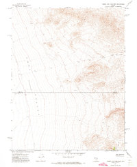
Coal Valley transitions into the high desert peaks of the Seaman Range in this modern topographic record of eastern Nevada. The landscape is defined by its vital water sources, as the presence of named points like Oreana Spring, Willow Spring, and Keno Spring indicates a reliance on scattered hydrologic features in an otherwise arid basin. These springs often served as critical waypoints for early travel and livestock operations in the region. Transportation is sparse, primarily represented by the Seaman Wash Rd cutting through the southwestern portion of the map, illustrating the continued isolation of this high-altitude terrain. The grid of the Public Land Survey System, including t1n r61e and t2n r60e, provides the underlying structure for this part of Lincoln County.
Find a feature on this map
14 named features on this map. Tap any name to fly to it.
Don’t see what you’re looking for? This feature index may not catch every label — zoom into the map to look around manually.
Map Details
Editions of this 2021 Oreana Spring Map
This is the sole edition of this map. No revisions or reprints were ever made.
Other maps of this area

1954 · Caliente
USGS Topo · 1:250,000

1956 · Lund
USGS Topo · 1:250,000

1959 · Caliente
USGS Topo · 1:250,000

1960 · Lund
USGS Topo · 1:250,000

1970 · Oreana Spring
USGS Topo · 1:24,000

1970 · Seaman Wash
USGS Topo · 1:24,000
1970 · Weepah Spring
USGS Topo · 1:24,000
1970 · White River Narrows
USGS Topo · 1:24,000
1971 · Timber Mtn Pass East
USGS Topo · 1:24,000
1971 · Timber Mtn Pass West
USGS Topo · 1:24,000