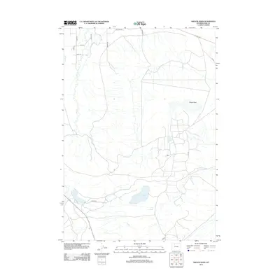
2012 Map of Oregon Basin
USGS Topo · Published 2012About this map
Oregon Basin and the surrounding high plains of Park County define this 2012 survey, illustrating a landscape characterized by both natural drainage and a network of access roads. The hydrology is anchored by Sage Cr, which winds through the western portion of the quadrangle, and Spring Cr near the margin. Wiley Lake sits as a prominent water feature in the southern section, surrounded by a grid of local roads like Nielson Rd and 3EM Rd. The naming conventions of the roads, such as Wild Horse Rd, Bluebird Ln, and Sunset Rim, suggest the character of modern rural development and land use in this part of Wyoming. This map serves as a clear record of the intersection between the natural basin topography and the expanding infrastructure of the early twenty-first century.
Find a feature on this map
15 named features on this map. Tap any name to fly to it.
Don’t see what you’re looking for? This feature index may not catch every label — zoom into the map to look around manually.
Map Details
Editions of this 2012 Oregon Basin Map
This is the sole edition of this map. No revisions or reprints were ever made.
Other maps of this area
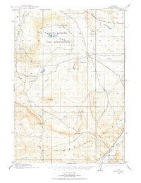
1911 · Oregon Basin
USGS Topo · 1:62,500
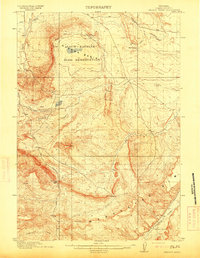
1913 · Oregon Basin
USGS Topo · 1:62,500
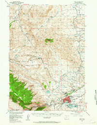
1949 · Cody
USGS Topo · 1:62,500
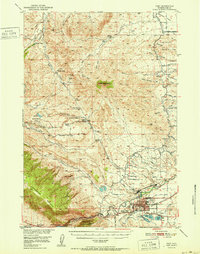
1951 · Cody
USGS Topo · 1:62,500

1955 · Cody
USGS Topo · 1:250,000
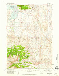
1957 · Devils Tooth
USGS Topo · 1:62,500

1958 · Cody
USGS Topo · 1:250,000

1962 · Cody
USGS Topo · 1:250,000
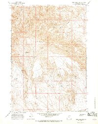
1966 · Stone Barn Camp
USGS Topo · 1:24,000
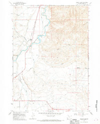
1966 · Corbett Dam
USGS Topo · 1:24,000