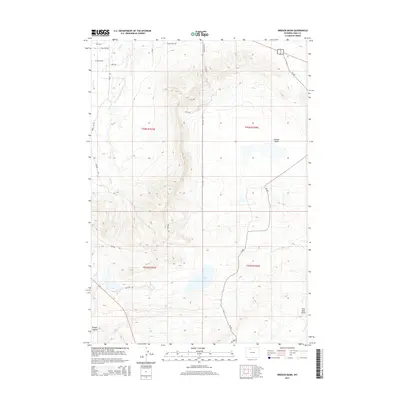
2015 Map of Oregon Basin
USGS Topo · Published 2015About this map
Oregon Basin dominates this landscape in Park County, where the high desert terrain of the Big Horn Basin meets the eastern foothills of the Absaroka Range. The map illustrates a high-elevation environment defined by intermittent drainages such as Sage Cr and Spring Cr, alongside the depression of Wiley Lake. This area is characterized by its geological exposures, notably the formation labeled Slickrock and the descriptive Coal Mine Gulch in the southeastern quadrant.
Find a feature on this map
19 named features on this map. Tap any name to fly to it.
Don’t see what you’re looking for? This feature index may not catch every label — zoom into the map to look around manually.
Map Details
Editions of this 2015 Oregon Basin Map
This is the sole edition of this map. No revisions or reprints were ever made.
Other maps of this area
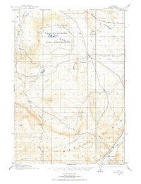
1911 · Oregon Basin
USGS Topo · 1:62,500
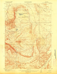
1913 · Oregon Basin
USGS Topo · 1:62,500
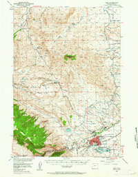
1949 · Cody
USGS Topo · 1:62,500
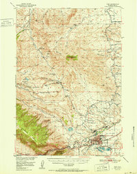
1951 · Cody
USGS Topo · 1:62,500

1955 · Cody
USGS Topo · 1:250,000
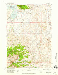
1957 · Devils Tooth
USGS Topo · 1:62,500

1958 · Cody
USGS Topo · 1:250,000

1962 · Cody
USGS Topo · 1:250,000
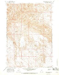
1966 · Stone Barn Camp
USGS Topo · 1:24,000
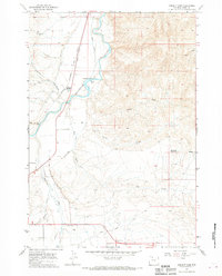
1966 · Corbett Dam
USGS Topo · 1:24,000