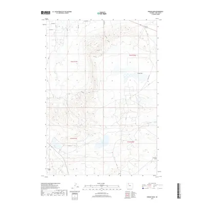
2017 Map of Oregon Basin
USGS Topo · Published 2017About this map
Oregon Basin dominates this landscape in the eastern Bighorn Basin, where an intricate network of local roads and natural drainages defines the high-desert terrain. In the southeastern corner, the presence of Coal Mine Gulch points to the region's extractive history, while water sources like Wiley Lake and Sage Creek provide critical points of reference in an otherwise arid environment. The map details a transition from the structured township and range system into the varied topography of Slickrock and several significant coulees, including Oregon Coulee. Modern thoroughfares such as Nielson Road and Oregon Basin Road cross the basin, connecting various ranching and industrial access points like Wild Horse Road and Jackie Bee Drive. This 2017 survey by the U.S. Geological Survey preserves the layout of these transportation corridors and natural landmarks as they existed in the early 21st century.
Find a feature on this map
23 named features on this map. Tap any name to fly to it.
Don’t see what you’re looking for? This feature index may not catch every label — zoom into the map to look around manually.
Map Details
Editions of this 2017 Oregon Basin Map
This is the sole edition of this map. No revisions or reprints were ever made.
Other maps of this area
1911 · Oregon Basin
USGS Topo · 1:62,500
1913 · Oregon Basin
USGS Topo · 1:62,500
1949 · Cody
USGS Topo · 1:62,500
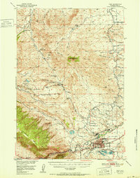
1951 · Cody
USGS Topo · 1:62,500

1955 · Cody
USGS Topo · 1:250,000
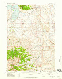
1957 · Devils Tooth
USGS Topo · 1:62,500

1958 · Cody
USGS Topo · 1:250,000

1962 · Cody
USGS Topo · 1:250,000
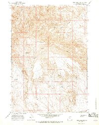
1966 · Stone Barn Camp
USGS Topo · 1:24,000
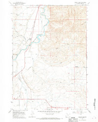
1966 · Corbett Dam
USGS Topo · 1:24,000