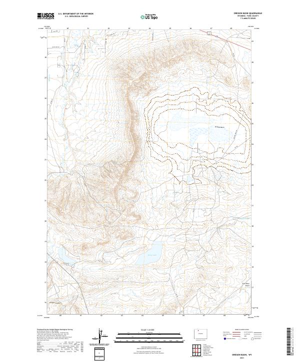
2021 Map of Oregon Basin
USGS Topo · Published 2021About this map
The Oregon Basin is defined by its industrial and agricultural water management systems, notably where the Cody Canal cuts through the Wyoming landscape to provide irrigation for the arid high plains. In this modern survey, the terrain is marked by deep drainage features like Coal Mine Gulch and Oregon Coulee, while local ranching and residential history is reflected in specific road names such as Doc Bar, Wild Horse Rd, and Jackie Bee Dr. The presence of Wiley Lake in the southern portion of the basin provides a focal point for the regional hydrology, fed by intermittent watercourses like Sage Cr and Spring Cr. This landscape shows a transition between managed waterways and the natural, winding topography of the basin floor, where small access routes like Blue Bird Ln and Nielson Rd crisscross the township lines of the t52n r101w and t51n r100w survey grids.
Find a feature on this map
22 named features on this map. Tap any name to fly to it.
Don’t see what you’re looking for? This feature index may not catch every label — zoom into the map to look around manually.
Map Details
Editions of this 2021 Oregon Basin Map
This is the sole edition of this map. No revisions or reprints were ever made.
Other maps of this area

1911 · Oregon Basin
USGS Topo · 1:62,500

1913 · Oregon Basin
USGS Topo · 1:62,500

1949 · Cody
USGS Topo · 1:62,500

1951 · Cody
USGS Topo · 1:62,500

1955 · Cody
USGS Topo · 1:250,000

1957 · Devils Tooth
USGS Topo · 1:62,500

1958 · Cody
USGS Topo · 1:250,000

1962 · Cody
USGS Topo · 1:250,000

1966 · Stone Barn Camp
USGS Topo · 1:24,000

1966 · Corbett Dam
USGS Topo · 1:24,000