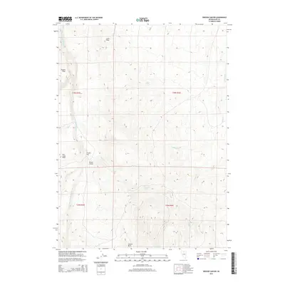
2014 Map of Oregon Canyon
USGS Topo · Published 2014About this map
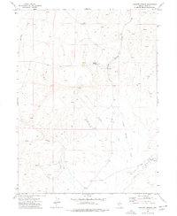
The S Fork Little Humboldt River carves a deep path through this section of Elko County, defining a landscape of high ridges and hidden water sources. To the west, the river is flanked by Winters Ridge and the Pole Creek Ridge, while the eastern terrain rises toward the prominent Castle Ridge. This area is marked by a complex network of seasonal drainages and springs, including the centrally located Castle Spring and the southern Thousand Springs, which reflect the high-desert reliance on localized water points.
Find a feature on this map
21 named features on this map. Tap any name to fly to it.
Don’t see what you’re looking for? This feature index may not catch every label — zoom into the map to look around manually.
Map Details
Editions of this 2014 Oregon Canyon Map
This is the sole edition of this map. No revisions or reprints were ever made.
Other maps of this area

1955 · McDermitt
USGS Topo · 1:250,000

1959 · McDermitt
USGS Topo · 1:250,000
1965 · Jake Creek Mtn
USGS Topo · 1:24,000
1965 · Squaw Valley Ranch
USGS Topo · 1:24,000
1965 · Midas
USGS Topo · 1:24,000
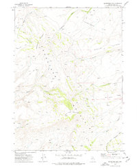
1973 · Snowstorm Mtn
USGS Topo · 1:24,000
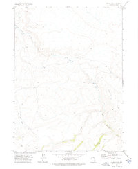
1973 · Rodear Flat
USGS Topo · 1:24,000
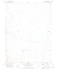
1973 · Haystack Peak
USGS Topo · 1:24,000
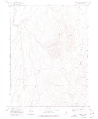
1974 · Burner Hills
USGS Topo · 1:24,000
1977 · Scraper Springs
USGS Topo · 1:24,000