1965 Map of Midas
USGS Topo · Published 1967About this map
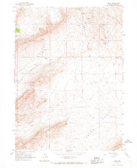
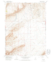
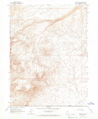
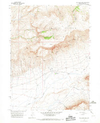
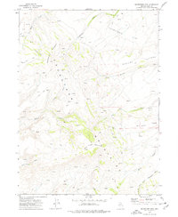
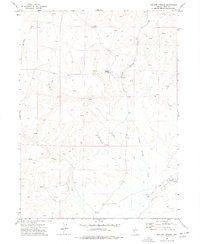
Midas sits at the edge of the high desert, serving as a hub for the various silver and gold operations scattered across the surrounding slopes. The map details a significant mining landscape in the mid-1960s, punctuated by the Rex Mine, Link Mine, Jackson Mine, and the more expansive Esmeralda Group including the Esmeralda Mine. To the south, the settlement at Wilkinson Ranch marks the transition into the broader grazing lands of Squaw Valley. The topography is dominated by the massive Owyhee Bluffs and Jake Creek Mountain, where high-altitude springs like Spring Creek and Midas Creek feed the lower drainages. Genealogists and local historians can locate the Midas Cemetery, providing a specific point of reference for the families who worked these Nevada claims during the 20th century.
Find a feature on this map
21 named features on this map. Tap any name to fly to it.
Don’t see what you’re looking for? This feature index may not catch every label — zoom into the map to look around manually.
Map Details
Editions of this 1965 Midas Map
2 editions found
Other maps of this area

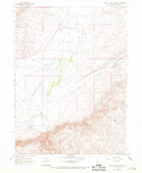
1955 · McDermitt
USGS Topo · 1:250,000

1959 · McDermitt
USGS Topo · 1:250,000
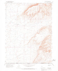
1965 · Sixmile Hill
USGS Topo · 1:24,000
1965 · Jake Creek Mtn
USGS Topo · 1:24,000
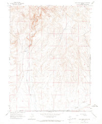
1965 · Squaw Valley Ranch
USGS Topo · 1:24,000
1965 · Midas SW
USGS Topo · 1:24,000
1965 · Rock Creek Ranch
USGS Topo · 1:24,000
1973 · Snowstorm Mtn
USGS Topo · 1:24,000
1977 · Scraper Springs
USGS Topo · 1:24,000
1977 · Oregon Canyon
USGS Topo · 1:24,000