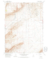
1965 Map of Midas
USGS Topo · Published 1986About this map
Mining operations north of Squaw Valley dominate this mid-century portrait of a remote Nevada gold district. The settlement of Midas is surrounded by a dense cluster of claims and shafts, including the Midas Mine, Rex Mine, and the Jackson Mine. Just south of the townsite, the Midas Cem serves as a silent record of the local population during the area's peak production years.
Find a feature on this map
24 named features on this map. Tap any name to fly to it.
Don’t see what you’re looking for? This feature index may not catch every label — zoom into the map to look around manually.
Map Details
Editions of this 1965 Midas Map
2 editions found
Other maps of this area

1955 · McDermitt
USGS Topo · 1:250,000

1959 · McDermitt
USGS Topo · 1:250,000

1965 · Sixmile Hill
USGS Topo · 1:24,000
1965 · Jake Creek Mtn
USGS Topo · 1:24,000

1965 · Squaw Valley Ranch
USGS Topo · 1:24,000
1965 · Midas SW
USGS Topo · 1:24,000
1965 · Midas
USGS Topo · 1:24,000

1965 · Rock Creek Ranch
USGS Topo · 1:24,000

1973 · Snowstorm Mtn
USGS Topo · 1:24,000

1977 · Scraper Springs
USGS Topo · 1:24,000