
1974 Map of Burner Hills
USGS Topo · Published 1977About this map
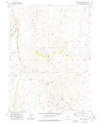
Burner Hills dominate this high-desert landscape in northern Nevada, where industrial enterprise and natural water sources shaped the sparse human footprint. The map records evidence of mineral exploration at the Mint Mine and a lone Prospect to the south, highlighting the region's mining heritage during the mid-1970s. For genealogists and local historians, the presence of Ruins along the banks of Milligan Creek suggests former habitations or ranching outposts now largely reclaimed by the environment.
Find a feature on this map
11 named features on this map. Tap any name to fly to it.
Don’t see what you’re looking for? This feature index may not catch every label — zoom into the map to look around manually.
Map Details
Editions of this 1974 Burner Hills Map
This is the sole edition of this map. No revisions or reprints were ever made.
Other maps of this area

1955 · McDermitt
USGS Topo · 1:250,000

1959 · McDermitt
USGS Topo · 1:250,000

1973 · McCleary Wells
USGS Topo · 1:24,000

1973 · Haystack Peak
USGS Topo · 1:24,000

1973 · Little Rock Creek
USGS Topo · 1:24,000

1974 · Soldier Cap
USGS Topo · 1:24,000

1974 · Middle Draw Reservoir
USGS Topo · 1:24,000

1974 · Winters Ranch Reservoir
USGS Topo · 1:24,000

1977 · Scraper Springs
USGS Topo · 1:24,000
1977 · Oregon Canyon
USGS Topo · 1:24,000