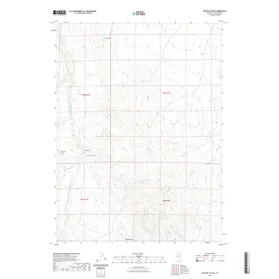
2021 Map of Oregon Canyon
USGS Topo · Published 2021About this map
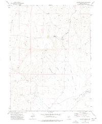
S Fork Little Humboldt River defines the western edge of this high-desert landscape in Elko County, where the terrain transitions into a complex of ridges and seasonal watercourses. The topography is dominated by prominent elevations such as Castle Ridge and Pole Creek Ridge, which overlook the expansive Oregon Flat. This map documents a region where water sources are vital but dispersed, marked by isolated points like Castle Spring and Thousand Springs. Drainage patterns are clearly defined by numerous creeks including Milligan Cr, Brush Cr, and Frazer Cr, all contributing to the larger watershed of the Oregon Canyon area. The southern portion of the quadrangle is anchored by the Owyhee Bluffs, illustrating the dramatic vertical relief characteristic of this corner of the Great Basin. This 2021 survey provides a contemporary view of the land's physical layout, useful for tracing the natural landmarks of northern Nevada.
Find a feature on this map
21 named features on this map. Tap any name to fly to it.
Don’t see what you’re looking for? This feature index may not catch every label — zoom into the map to look around manually.
Map Details
Editions of this 2021 Oregon Canyon Map
This is the sole edition of this map. No revisions or reprints were ever made.
Other maps of this area

1955 · McDermitt
USGS Topo · 1:250,000

1959 · McDermitt
USGS Topo · 1:250,000
1965 · Jake Creek Mtn
USGS Topo · 1:24,000
1965 · Squaw Valley Ranch
USGS Topo · 1:24,000
1965 · Midas
USGS Topo · 1:24,000
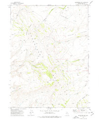
1973 · Snowstorm Mtn
USGS Topo · 1:24,000
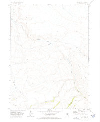
1973 · Rodear Flat
USGS Topo · 1:24,000
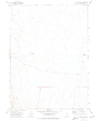
1973 · Haystack Peak
USGS Topo · 1:24,000
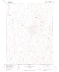
1974 · Burner Hills
USGS Topo · 1:24,000
1977 · Scraper Springs
USGS Topo · 1:24,000