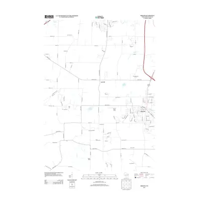
2013 Map of Oregon
USGS Topo · Published 2013About this map
The village of Oregon serves as the focal point of this 2013 topographic study, illustrating the modern expansion of this Dane County community. The landscape is a distinct blend of agricultural heritage and contemporary aviation, featuring specialized sites like Wolf Mink Ranch, Eplegaarden, and Hann's Christmas Farm. Small airfields such as Peterson Field Airport, Storytown Airfield, and Syvrud Airport are interspersed among the farms, suggesting a local economy that balances traditional land use with private flight.
Find a feature on this map
44 named features on this map. Tap any name to fly to it.
Don’t see what you’re looking for? This feature index may not catch every label — zoom into the map to look around manually.
Map Details
Editions of this 2013 Oregon Map
This is the sole edition of this map. No revisions or reprints were ever made.
Other maps of this area

1889 · Evansville
USGS Topo · 1:62,500

1890 · Madison
USGS Topo · 1:62,500

1892 · Madison
USGS Topo · 1:62,500

1894 · Evansville
USGS Topo · 1:62,500

1904 · Madison
USGS Topo · 1:62,500

1906 · Evansville
USGS Topo · 1:62,500

1906 · Madison
USGS Topo · 1:62,500

1907 · Cross Plains
USGS Topo · 1:62,500

1909 · Cross Plains
USGS Topo · 1:62,500

1923 · New Glarus
USGS Topo · 1:62,500