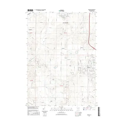
2016 Map of Oregon
USGS Topo · Published 2016About this map
Oregon sits at the heart of this landscape, surrounded by a transition from the developing edges of Fitchburg and Verona to the open agricultural tracts of southern Dane County. The settlement of Oak Hall remains a distinct landmark at the junction of Co RD D and Co HWY M, reflecting the rural hamlet structure that defined the region before suburban expansion. The terrain is marked by significant glacial depressions and water bodies, including the protected expanse of Barney Swamp and Lake Barney, alongside the well-defined Fisher Valley to the south.
Find a feature on this map
131 named features on this map. Tap any name to fly to it.
Don’t see what you’re looking for? This feature index may not catch every label — zoom into the map to look around manually.
Map Details
Editions of this 2016 Oregon Map
This is the sole edition of this map. No revisions or reprints were ever made.
Other maps of this area

1889 · Evansville
USGS Topo · 1:62,500

1890 · Madison
USGS Topo · 1:62,500

1892 · Madison
USGS Topo · 1:62,500

1894 · Evansville
USGS Topo · 1:62,500

1904 · Madison
USGS Topo · 1:62,500

1906 · Evansville
USGS Topo · 1:62,500

1906 · Madison
USGS Topo · 1:62,500

1907 · Cross Plains
USGS Topo · 1:62,500

1909 · Cross Plains
USGS Topo · 1:62,500

1923 · New Glarus
USGS Topo · 1:62,500