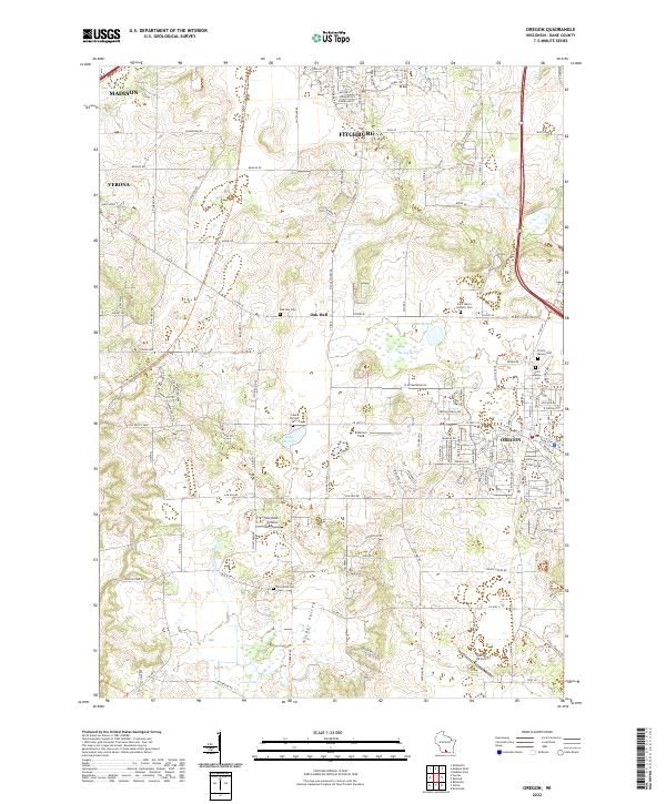
2022 Map of Oregon
USGS Topo · Published 2022About this map
The village of Oregon serves as a central hub in this modern survey of south-central Wisconsin, where the expanding residential footprints of Madison, Fitchburg, and Verona meet the region's agricultural roots. The landscape is characterized by its glacial legacy, featuring numerous wetlands and small water bodies like Lake Barney and the adjacent Barney Swamp. Local history is well-preserved through a network of rural burial grounds, including the Saint Mary's Catholic Cem and Prairie Mound Cem near the village, and the more isolated Oak Hall Cem to the west.
Find a feature on this map
74 named features on this map. Tap any name to fly to it.
Don’t see what you’re looking for? This feature index may not catch every label — zoom into the map to look around manually.
Map Details
Editions of this 2022 Oregon Map
This is the sole edition of this map. No revisions or reprints were ever made.
Other maps of this area

1889 · Evansville
USGS Topo · 1:62,500

1890 · Madison
USGS Topo · 1:62,500

1892 · Madison
USGS Topo · 1:62,500

1894 · Evansville
USGS Topo · 1:62,500

1904 · Madison
USGS Topo · 1:62,500

1906 · Evansville
USGS Topo · 1:62,500

1906 · Madison
USGS Topo · 1:62,500

1907 · Cross Plains
USGS Topo · 1:62,500

1909 · Cross Plains
USGS Topo · 1:62,500

1923 · New Glarus
USGS Topo · 1:62,500