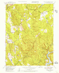
1948 Map of Oregon House
USGS Topo · Published 1956About this map
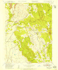
Oregon House serves as a central point in this Yuba County landscape, situated amidst a terrain defined by foothills and water management systems. The map illustrates a transitional period of agricultural and industrial utility, featuring several family-named properties like Virginia Ranch, Bar O Mine Ranch, and Carmichael Ranch. A Sawmill near the town center and the prominent Englebright Reservoir on the Yuba River at the Nevada County line reflect the area's reliance on timber and water resources. Local educational history is anchored by the Oregon House Sch and Peoria Sch. The topography is marked by numerous named peaks and ridges, including Stanfield Hill and Daugherty Hill, with early infrastructure represented by a Flume and Ditch system winding through the northern creeks.
Find a feature on this map
37 named features on this map. Tap any name to fly to it.
Don’t see what you’re looking for? This feature index may not catch every label — zoom into the map to look around manually.
Map Details
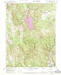
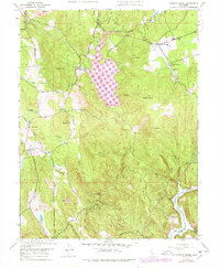
Editions of this 1948 Oregon House Map
3 editions found
Other maps of this area

1888 · Smartsville
USGS Topo · 1:125,000

1891 · Smartsville
USGS Topo · 1:125,000

1892 · Smartsville
USGS Topo · 1:125,000

1894 · Smartsville
USGS Topo · 1:125,000

1895 · Smartsville
USGS Topo · 1:125,000

1911 · Browns Valley
USGS Topo · 1:31,680
1912 · Prairie Creek
USGS Topo · 1:31,680

1941 · Bangor
USGS Topo · 1:62,500

1944 · Bangor
USGS Topo · 1:62,500
1947 · Loma Rica
USGS Topo · 1:24,000