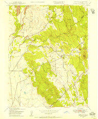
1947 Map of Loma Rica
USGS Topo · Published 1956About this map
Settlements like Loma Rica and the now-obscure Iowa City anchor this 1940s landscape, where small-scale agriculture and early mining enterprises defined the local economy. The terrain is marked by an intricate network of irrigation and mining canals, including the Browns Valley Ditch, Mahle Ditch, and Olive Ditch, which redirect water across the slopes of Browns Valley Ridge. These waterworks reflect the region's transition from gold-era infrastructure to supporting local orchards and ranches.
Find a feature on this map
33 named features on this map. Tap any name to fly to it.
Don’t see what you’re looking for? This feature index may not catch every label — zoom into the map to look around manually.
Map Details
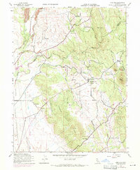
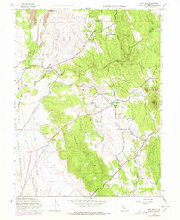
Editions of this 1947 Loma Rica Map
3 editions found
Other maps of this area

1888 · Marysville
USGS Topo · 1:125,000

1888 · Smartsville
USGS Topo · 1:125,000

1891 · Marysville
USGS Topo · 1:125,000

1891 · Smartsville
USGS Topo · 1:125,000

1892 · Smartsville
USGS Topo · 1:125,000

1894 · Smartsville
USGS Topo · 1:125,000

1894 · Marysville
USGS Topo · 1:125,000

1895 · Marysville
USGS Topo · 1:125,000

1895 · Smartsville
USGS Topo · 1:125,000

1911 · Browns Valley
USGS Topo · 1:31,680