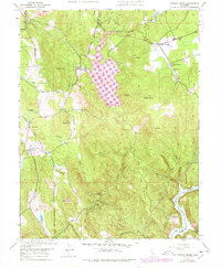
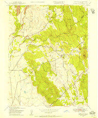
1948 Map of Oregon House
USGS Topo · Published 1978About this map
The Sierra Nevada foothills of Yuba County are defined by a complex network of ranching properties and water management infrastructure. Oregon House serves as a central hub for the surrounding community, while legacy educational sites like Peoria Sch and the Oregon House Sch anchor the rural landscape. Large holdings such as the Pal O Mine Ranch and Carmichael Ranch reflect the long-standing agricultural character of this region.
Find a feature on this map
33 named features on this map. Tap any name to fly to it.
Don’t see what you’re looking for? This feature index may not catch every label — zoom into the map to look around manually.
Map Details
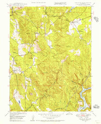
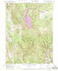
Editions of this 1948 Oregon House Map
3 editions found
Other maps of this area

1888 · Smartsville
USGS Topo · 1:125,000

1891 · Smartsville
USGS Topo · 1:125,000

1892 · Smartsville
USGS Topo · 1:125,000

1894 · Smartsville
USGS Topo · 1:125,000

1895 · Smartsville
USGS Topo · 1:125,000

1911 · Browns Valley
USGS Topo · 1:31,680
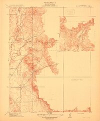
1912 · Prairie Creek
USGS Topo · 1:31,680

1941 · Bangor
USGS Topo · 1:62,500

1944 · Bangor
USGS Topo · 1:62,500
1947 · Loma Rica
USGS Topo · 1:24,000