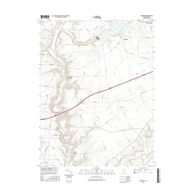
2016 Map of Oregonia
USGS Topo · Published 2016About this map
Oregonia and Harveysburg anchor this topographical survey of Warren County, where the steep, wooded bluffs of the Little Miami River valley contrast with the expansive waters of Caesar Creek Lake. The landscape is a mix of agricultural uplands and deep river cuts, highlighted by the passage of the N Country National Scenic Trail (Buckeye Trail) as it winds through the valley. This 2016 edition documents the local infrastructure including the massive Jeremiah Morrow Bridge spanning the river gorge, a critical link in the region's transportation network.
Find a feature on this map
105 named features on this map. Tap any name to fly to it.
Don’t see what you’re looking for? This feature index may not catch every label — zoom into the map to look around manually.
Map Details
Editions of this 2016 Oregonia Map
This is the sole edition of this map. No revisions or reprints were ever made.
Other maps of this area
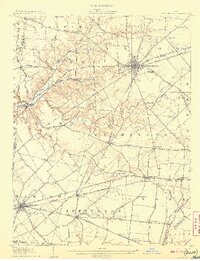
1907 · Blanchester
USGS Topo · 1:62,500
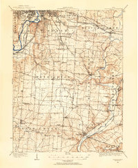
1913 · Waynesville
USGS Topo · 1:62,500
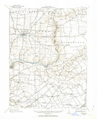
1914 · Morrow
USGS Topo · 1:62,500
1915 · Waynesville
USGS Topo · 1:62,500
1916 · Morrow
USGS Topo · 1:62,500
1917 · Xenia
USGS Topo · 1:62,500
1947 · Columbus
USGS Topo · 1:250,000
1953 · Cincinnati
USGS Topo · 1:250,000
1955 · New Burlington
USGS Topo · 1:24,000
1955 · Lebanon
USGS Topo · 1:24,000