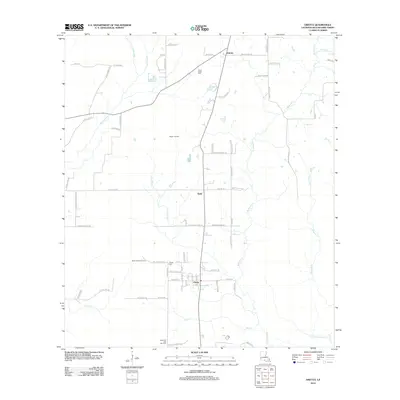
2012 Map of Oretta
USGS Topo · Published 2012About this map
Oretta and its neighboring settlements define this part of Beauregard Parish, where the local economy is deeply tied to the underlying geology. The map details the Singer Oil Field, the North Oretta Oil Field, and the Oretta Oil and Gas Field, illustrating how industrial extraction sites are interspersed with the traditional rural landscape. Small communities like Seale and Juanita serve as anchor points along a network of local roads such as Bolton Rd and Smokey Cove Rd.
Find a feature on this map
76 named features on this map. Tap any name to fly to it.
Don’t see what you’re looking for? This feature index may not catch every label — zoom into the map to look around manually.
Map Details
Editions of this 2012 Oretta Map
This is the sole edition of this map. No revisions or reprints were ever made.
Other maps of this area

1935 · Gordon
USGS Topo · 1:31,680

1947 · Singer
USGS Topo · 1:31,680

1947 · DeQuincy
USGS Topo · 1:31,680

1947 · Oretta
USGS Topo · 1:31,680

1947 · Kernan
USGS Topo · 1:31,680

1947 · Hyatt
USGS Topo · 1:31,680

1947 · Bivens
USGS Topo · 1:31,680

1947 · Beckwith School
USGS Topo · 1:31,680

1947 · Long Marsh
USGS Topo · 1:31,680

1949 · Kernan
USGS Topo · 1:31,680