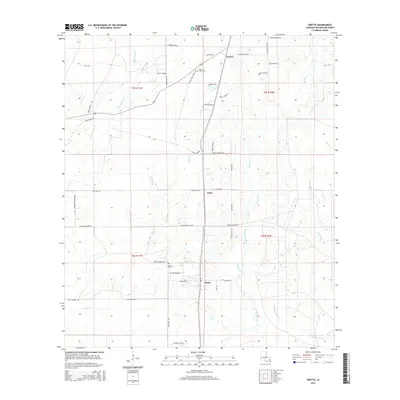
2015 Map of Oretta
USGS Topo · Published 2015About this map
Oretta and Seale are the primary settlements in this portion of Beauregard Parish, defined by a complex network of waterways and timbered lowlands. The landscape is heavily influenced by the drainage patterns of Beckwith Creek and Gum Slough, which weave through the terrain alongside Dry Bayou and the southern Persimmon Marsh. Local genealogy is well-preserved through family-named landmarks and historical burial sites like Oretta Cem and Good Hope Cem. The road network reflects a long history of local land ownership and rural industry, with routes like Hoover Dairy Rd, Nettie Cooper, and Catfish Farm Rd indicating the agricultural and dairy heritage of the region. The map captures a moment in the modern era where these established southern Louisiana communities maintain their rural character despite decades of change.
Find a feature on this map
57 named features on this map. Tap any name to fly to it.
Don’t see what you’re looking for? This feature index may not catch every label — zoom into the map to look around manually.
Map Details
Editions of this 2015 Oretta Map
This is the sole edition of this map. No revisions or reprints were ever made.
Other maps of this area

1935 · Gordon
USGS Topo · 1:31,680

1947 · Singer
USGS Topo · 1:31,680

1947 · DeQuincy
USGS Topo · 1:31,680

1947 · Oretta
USGS Topo · 1:31,680

1947 · Kernan
USGS Topo · 1:31,680

1947 · Hyatt
USGS Topo · 1:31,680

1947 · Bivens
USGS Topo · 1:31,680

1947 · Beckwith School
USGS Topo · 1:31,680

1947 · Long Marsh
USGS Topo · 1:31,680

1949 · Kernan
USGS Topo · 1:31,680