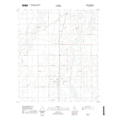
2020 Map of Oretta
USGS Topo · Published 2020About this map
Oretta and its neighboring settlements define this corner of Beauregard Parish, where a network of family-named roads and rural parish routes connects local homesteads. The landscape is deeply tied to its hydrology, characterized by the winding course of Beckwith Creek and the expansive Persimmon Marsh to the southeast. Several smaller watercourses, including Gum Slough and Bear Head Cr, branch across the territory, illustrating the complex drainage patterns of the Louisiana flatlands.
Find a feature on this map
56 named features on this map. Tap any name to fly to it.
Don’t see what you’re looking for? This feature index may not catch every label — zoom into the map to look around manually.
Map Details
Editions of this 2020 Oretta Map
This is the sole edition of this map. No revisions or reprints were ever made.
Other maps of this area

1935 · Gordon
USGS Topo · 1:31,680

1947 · Singer
USGS Topo · 1:31,680

1947 · DeQuincy
USGS Topo · 1:31,680

1947 · Oretta
USGS Topo · 1:31,680

1947 · Kernan
USGS Topo · 1:31,680

1947 · Hyatt
USGS Topo · 1:31,680

1947 · Bivens
USGS Topo · 1:31,680

1947 · Beckwith School
USGS Topo · 1:31,680

1947 · Long Marsh
USGS Topo · 1:31,680

1949 · Kernan
USGS Topo · 1:31,680