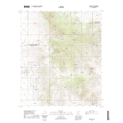
2020 Map of Organ Peak
USGS Topo · Published 2020About this map
Organ Mountains-Desert Peaks National Monument dominates this southern New Mexico landscape, preserving a skyline defined by sharp vertical rises and deep desert drainages. The area is anchored by the towering Organ Peak and Organ Needle, with the settlement of Boyd positioned along the western foothills. To the east, the map captures the transition into military-managed lands, including a portion of the White Sands Missile Range and the extensive Fort Bliss reservation.
Find a feature on this map
69 named features on this map. Tap any name to fly to it.
Don’t see what you’re looking for? This feature index may not catch every label — zoom into the map to look around manually.
Map Details
Editions of this 2020 Organ Peak Map
This is the sole edition of this map. No revisions or reprints were ever made.
Other maps of this area

1891 · Las Cruces
USGS Topo · 1:125,000

1893 · Las Cruces
USGS Topo · 1:125,000

1940 · Newman
USGS Topo · 1:62,500

1941 · Organ Peak
USGS Topo · 1:62,500

1943 · La Mesa
USGS Topo · 1:62,500

1943 · Parker Lake
USGS Topo · 1:62,500

1943 · Newman
USGS Topo · 1:62,500

1943 · Organ Peak
USGS Topo · 1:62,500

1948 · Davies Tank
USGS Topo · 1:24,000

1948 · Newman NW
USGS Topo · 1:24,000