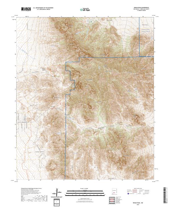
2023 Map of Organ Peak
USGS Topo · Published 2023About this map
The Organ Mountains dominate this high-altitude landscape, where sharp-crested summits like Organ Needle and Sugarloaf Peak rise above the high desert floor. As of 2023, the area is largely protected within the Organ Mountains-Desert Peaks National Monument, while the eastern and northern portions fall under the restricted jurisdictions of Fort Bliss and the White Sands Missile Range. These military and conservation boundaries intersect a rugged terrain defined by significant elevation changes, from the heights of Organ Peak down to the deep incisions of Soledad Canyon and Rucker Canyon.
Find a feature on this map
80 named features on this map. Tap any name to fly to it.
Don’t see what you’re looking for? This feature index may not catch every label — zoom into the map to look around manually.
Map Details
Editions of this 2023 Organ Peak Map
This is the sole edition of this map. No revisions or reprints were ever made.
Other maps of this area

1891 · Las Cruces
USGS Topo · 1:125,000

1893 · Las Cruces
USGS Topo · 1:125,000

1940 · Newman
USGS Topo · 1:62,500

1941 · Organ Peak
USGS Topo · 1:62,500

1943 · La Mesa
USGS Topo · 1:62,500

1943 · Parker Lake
USGS Topo · 1:62,500

1943 · Newman
USGS Topo · 1:62,500

1943 · Organ Peak
USGS Topo · 1:62,500

1948 · Davies Tank
USGS Topo · 1:24,000

1948 · Newman NW
USGS Topo · 1:24,000