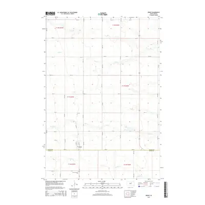
2015 Map of Orient
USGS Topo · Published 2015About this map
Orient stands at the intersection of rural South Dakota life, straddling the border between Faulk and Hand counties. This plains landscape is defined by the section-line grid system, where gravel roads like 172nd St and Summer St divide the open prairie. The local topography is subtly marked by the winding paths of Gooder Creek and Bryant Creek, which flow through the agricultural expanses. Just south of the town center, the Orient-Prairieview Cemetery serves as a vital touchstone for local genealogy and family history. Small natural basins such as Lake Nora interrupt the high plains, providing essential drainage in an area otherwise dominated by the vast, open reaches of T117N and T118N. The layout reflects a quintessential midwestern prairie settlement, where the proximity to drainage and the rigid road network dictate the flow of transportation and land use.
Find a feature on this map
25 named features on this map. Tap any name to fly to it.
Don’t see what you’re looking for? This feature index may not catch every label — zoom into the map to look around manually.
Map Details
Editions of this 2015 Orient Map
This is the sole edition of this map. No revisions or reprints were ever made.
Other maps of this area
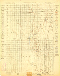
1899 · Northville
USGS Topo · 1:125,000
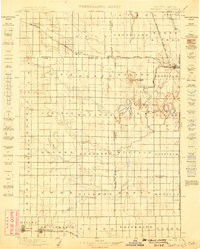
1899 · Redfield
USGS Topo · 1:125,000
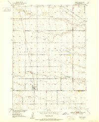
1951 · Orient
USGS Topo · 1:24,000
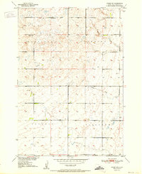
1951 · Orient SW
USGS Topo · 1:24,000
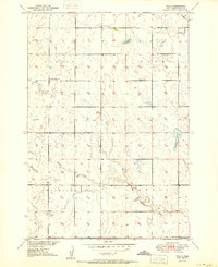
1951 · Polo
USGS Topo · 1:24,000
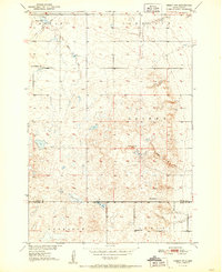
1951 · Orient NW
USGS Topo · 1:24,000
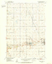
1952 · Faulkton West
USGS Topo · 1:24,000
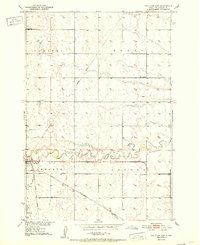
1952 · Faulkton East
USGS Topo · 1:24,000
1953 · Huron
USGS Topo · 1:250,000
1954 · Aberdeen
USGS Topo · 1:250,000