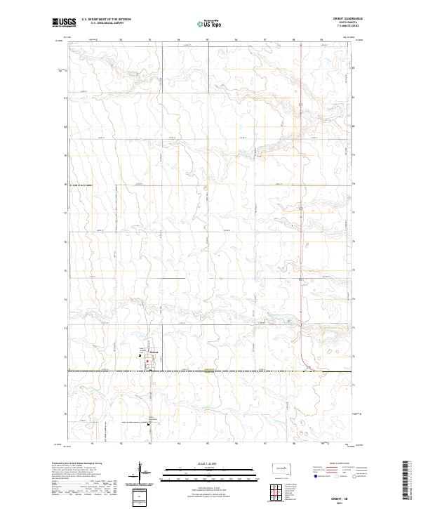
2021 Map of Orient
USGS Topo · Published 2021About this map
Orient serves as the primary hub of this prairie landscape in the early 2020s, situated at the intersection of a grid-like network of country roads. The town is flanked by sites of local genealogical significance, including Saint Josephs Cem just west of the main settlement and Orient - Prairieview Cem to the south. The terrain is defined by its subtle drainage patterns, where small watercourses such as Gooder Cr and Bryant Cr carve shallow paths across the township lines.
Find a feature on this map
25 named features on this map. Tap any name to fly to it.
Don’t see what you’re looking for? This feature index may not catch every label — zoom into the map to look around manually.
Map Details
Editions of this 2021 Orient Map
This is the sole edition of this map. No revisions or reprints were ever made.
Other maps of this area

1899 · Northville
USGS Topo · 1:125,000

1899 · Redfield
USGS Topo · 1:125,000

1951 · Orient
USGS Topo · 1:24,000

1951 · Orient SW
USGS Topo · 1:24,000

1951 · Polo
USGS Topo · 1:24,000

1951 · Orient NW
USGS Topo · 1:24,000

1952 · Faulkton West
USGS Topo · 1:24,000

1952 · Faulkton East
USGS Topo · 1:24,000

1953 · Huron
USGS Topo · 1:250,000

1954 · Aberdeen
USGS Topo · 1:250,000