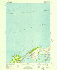
1956 Map of Orient
USGS Topo · Published 1957About this map
Orient occupies a narrow peninsula on the North Fork of Long Island, defined by its relationship with Long Island Sound to the north and Gardiners Bay to the south. This mid-1950s survey captures the village's coastal layout, where maritime recreation at the Yacht Club and Orient Beach State Park sits alongside quiet inland markers of local history. Genealogy is well-represented through three distinct burial grounds: the Village Cem, Central Cem, and Terry Cem.
Find a feature on this map
40 named features on this map. Tap any name to fly to it.
Don’t see what you’re looking for? This feature index may not catch every label — zoom into the map to look around manually.
Map Details
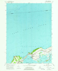
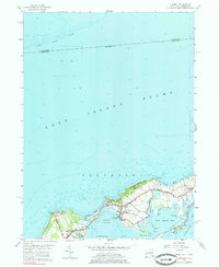
Editions of this 1956 Orient Map
3 editions found
Other maps of this area

1892 · New London
USGS Topo · 1:62,500

1893 · New London
USGS Topo · 1:62,500

1893 · Saybrook
USGS Topo · 1:62,500

1903 · Gardiners Island
USGS Topo · 1:62,500

1904 · Shelter Island
USGS Topo · 1:62,500

1904 · Gardiners Island
USGS Topo · 1:62,500

1921 · Gardiners Island
USGS Topo · 1:62,500

1921 · New London
USGS Topo · 1:62,500

1934 · Niantic
USGS Topo · 1:24,000

1938 · Niantic
USGS Topo · 1:62,500