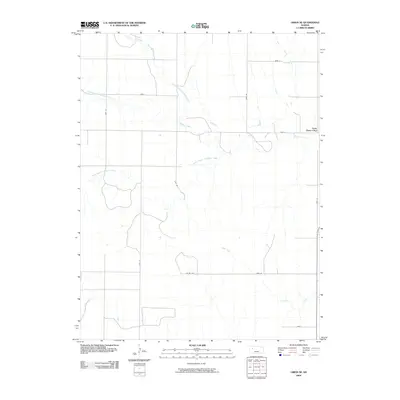
2009 Map of Orion NE
USGS Topo · Published 2009About this map
Gove (Gove City) serves as the primary settlement center on this High Plains landscape, situated at the confluence of several vital watercourses. The drainage network is particularly detailed, showing the convergence of the North Branch Hackberry Creek, Middle Branch Hackberry Creek, and South Branch Hackberry Creek into the main channel of Hackberry Creek. These seasonal waterways are the defining geographic features of the region, dictating the placement of early road networks like Gove S and Gove 44. To the south, the terrain transitions toward Indian Creek, illustrating the characteristic prairie drainage patterns of Gove County. This 2009 survey captures the area's rural structure, where the section-line road system remains the backbone of transportation across the open Kansas plains.
Find a feature on this map
18 named features on this map. Tap any name to fly to it.
Don’t see what you’re looking for? This feature index may not catch every label — zoom into the map to look around manually.
Map Details
Editions of this 2009 Orion NE Map
This is the sole edition of this map. No revisions or reprints were ever made.
Other maps of this area

1954 · Goodland
USGS Topo · 1:250,000

1955 · Scott City
USGS Topo · 1:250,000

1956 · Goodland
USGS Topo · 1:250,000

1957 · Goodland
USGS Topo · 1:250,000

1958 · Scott City
USGS Topo · 1:250,000

1972 · Orion NE
USGS Topo · 1:24,000

1972 · Gove
USGS Topo · 1:24,000

1972 · Orion
USGS Topo · 1:24,000

1974 · Gove SW
USGS Topo · 1:24,000
1974 · Orion SE
USGS Topo · 1:24,000