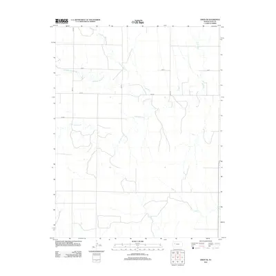
2012 Map of Orion NE
USGS Topo · Published 2012About this map
Gove T defines the administrative heart of this rural landscape in Gove County, where a complex network of drainage systems converges. The hydrology of the region is dominated by the various branches of Hackberry Creek, including the N Br Hackberry Cr, Middle Br Hackberry Cr, and the S Br Hackberry Cr. These waterways, along with Indian Cr and W Spring Cr, carve subtle relief into the High Plains terrain. A structured grid of section roads, such as Co Rd 32, Co Rd S, and Co Rd 36, provides the primary framework for land access and movement across the township. This modern survey reflects the enduring spatial organization of Kansas agricultural life, where the intersection of natural watercourses and the section line road system continues to dictate the local geography.
Find a feature on this map
13 named features on this map. Tap any name to fly to it.
Don’t see what you’re looking for? This feature index may not catch every label — zoom into the map to look around manually.
Map Details
Editions of this 2012 Orion NE Map
This is the sole edition of this map. No revisions or reprints were ever made.
Other maps of this area

1954 · Goodland
USGS Topo · 1:250,000

1955 · Scott City
USGS Topo · 1:250,000

1956 · Goodland
USGS Topo · 1:250,000

1957 · Goodland
USGS Topo · 1:250,000

1958 · Scott City
USGS Topo · 1:250,000
1972 · Orion NE
USGS Topo · 1:24,000
1972 · Gove
USGS Topo · 1:24,000
1972 · Orion
USGS Topo · 1:24,000
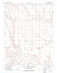
1974 · Gove SW
USGS Topo · 1:24,000
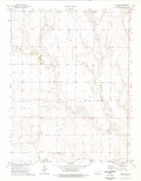
1974 · Orion SE
USGS Topo · 1:24,000