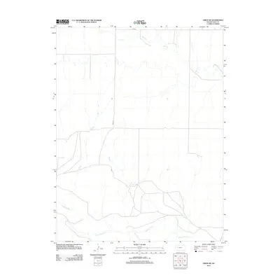
2012 Map of Orion SW
USGS Topo · Published 2012About this map
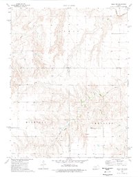
The Smoky Hill River winds across the southern reaches of this Gove County landscape, defining the local hydrology of the High Plains. To the north, the drainage of Plum Cr cuts through the terrain, illustrating the natural watercourses that have historically shaped land use and ranching boundaries in this part of Kansas. Administrative markers like Gove 22 and Gove M indicate the jurisdictional divisions that overlay the physical geography. The map provides a clear look at the sparse rural road network, showing how local transit routes negotiate the river valley and its surrounding plains just after the first decade of the millennium.
Find a feature on this map
4 named features on this map. Tap any name to fly to it.
Don’t see what you’re looking for? This feature index may not catch every label — zoom into the map to look around manually.
Map Details
Editions of this 2012 Orion SW Map
This is the sole edition of this map. No revisions or reprints were ever made.
Other maps of this area
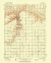
1939 · Sandon
USGS Topo · 1:62,500
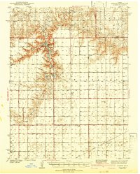
1942 · Sandon
USGS Topo · 1:62,500

1955 · Scott City
USGS Topo · 1:250,000

1958 · Scott City
USGS Topo · 1:250,000
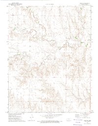
1972 · Orion NE
USGS Topo · 1:24,000
1972 · Orion
USGS Topo · 1:24,000
1972 · Elkader NE
USGS Topo · 1:24,000
1974 · Cheyenne Creek
USGS Topo · 1:24,000
1974 · Orion SE
USGS Topo · 1:24,000
1974 · Healy NW
USGS Topo · 1:24,000