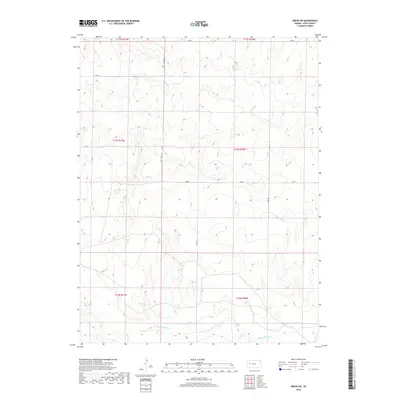
2018 Map of Orion SW
USGS Topo · Published 2018About this map
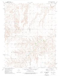
The Smoky Hill River winds across the southern reaches of this Western Kansas landscape, carving a significant valley through the High Plains. This 2018 survey of Gove County reveals a rural environment structured by the Public Land Survey System, with township boundaries like t14s r31w and t14s r30w defining the administrative grid. While the area is largely characterized by open terrain, drainage networks like Plum Cr in the north and Hell Cr in the southwest provide the primary geographic relief. The map documents the modern infrastructure of the region, where county routes such as Co Rd 22, Gove 24, and Gove 28 serve as the primary conduits between isolated ranching and agricultural tracts in this sparsely populated portion of the state.
Find a feature on this map
12 named features on this map. Tap any name to fly to it.
Don’t see what you’re looking for? This feature index may not catch every label — zoom into the map to look around manually.
Map Details
Editions of this 2018 Orion SW Map
This is the sole edition of this map. No revisions or reprints were ever made.
Other maps of this area
1939 · Sandon
USGS Topo · 1:62,500
1942 · Sandon
USGS Topo · 1:62,500

1955 · Scott City
USGS Topo · 1:250,000

1958 · Scott City
USGS Topo · 1:250,000
1972 · Orion NE
USGS Topo · 1:24,000
1972 · Orion
USGS Topo · 1:24,000
1972 · Elkader NE
USGS Topo · 1:24,000
1974 · Cheyenne Creek
USGS Topo · 1:24,000
1974 · Orion SE
USGS Topo · 1:24,000
1974 · Healy NW
USGS Topo · 1:24,000