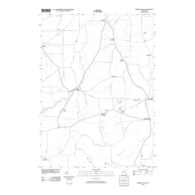
2010 Map of Oriskany Falls
USGS Topo · Published 2010About this map
Oriskany Falls serves as a central hub in this part of Oneida County, where the waters of Oriskany Creek meet a landscape of agricultural valleys and rolling uplands. The distribution of small settlements like Deansboro, Brothertown, and Sangerfield reflects a classic upstate New York pattern of village-centric development. This 2010 survey details the transition from these compact centers to the surrounding rural reaches, featuring distinctive land uses such as the Alcott Greenhouses and the Valley View Airport.
Find a feature on this map
76 named features on this map. Tap any name to fly to it.
Don’t see what you’re looking for? This feature index may not catch every label — zoom into the map to look around manually.
Map Details
Editions of this 2010 Oriskany Falls Map
This is the sole edition of this map. No revisions or reprints were ever made.
Other maps of this area

1895 · Oriskany
USGS Topo · 1:62,500

1895 · Oneida
USGS Topo · 1:62,500

1898 · Oneida
USGS Topo · 1:62,500

1898 · Oriskany
USGS Topo · 1:62,500

1902 · Morrisville
USGS Topo · 1:62,500

1902 · Oneida
USGS Topo · 1:62,500

1907 · Sangerfield
USGS Topo · 1:62,500

1939 · Oneida
USGS Topo · 1:62,500

1943 · Hubbardsville
USGS Topo · 1:24,000

1943 · Cassville
USGS Topo · 1:24,000